Well, sort of. More like a tease.
Today’s expected high is -1C/30F, which we’re supposed to hit later this afternoon. It’s bright and sunny, though, and feels a lot warmer.
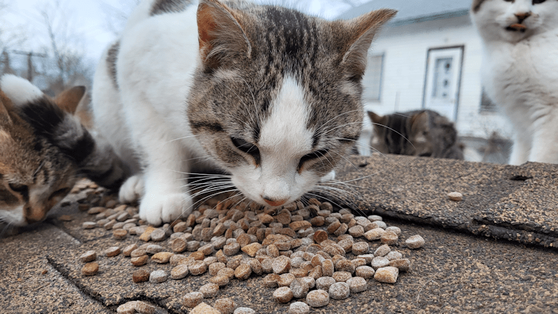
It was -12C/10F when my daughter did the morning cat feeding.
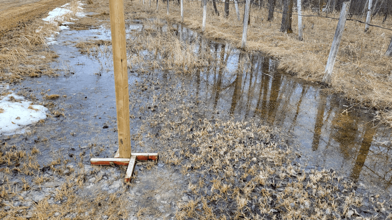
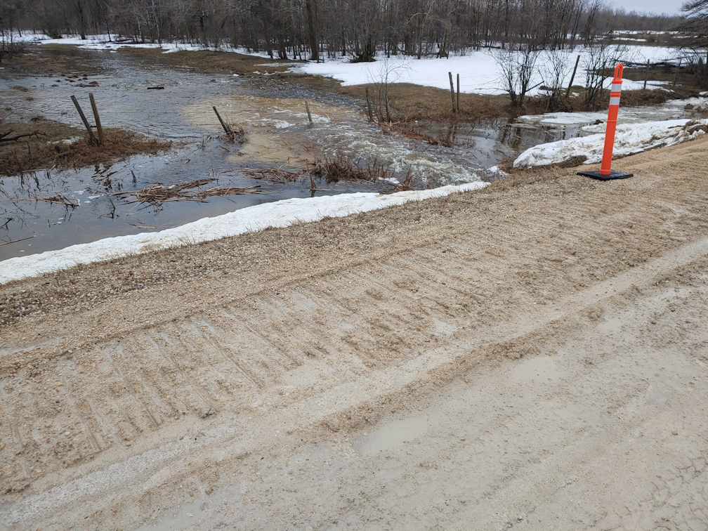
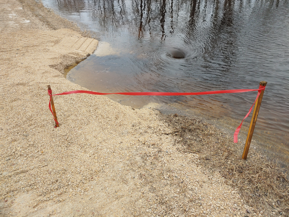
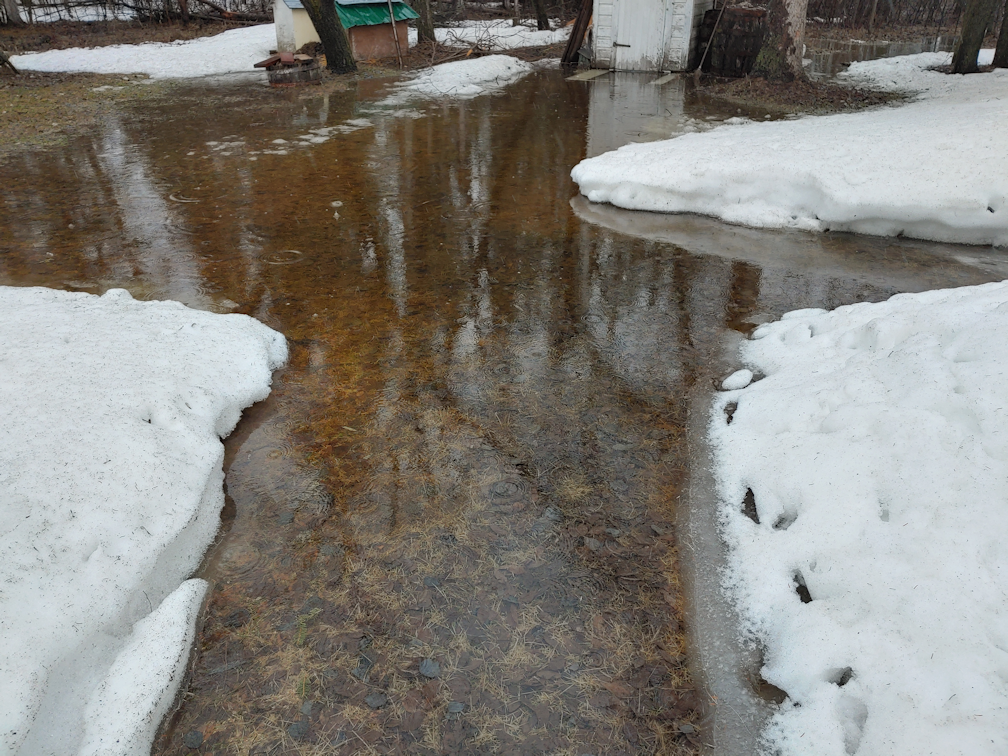
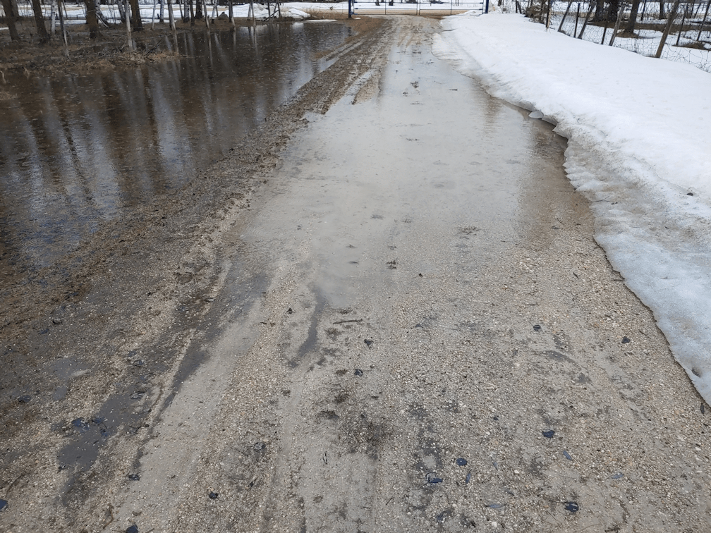
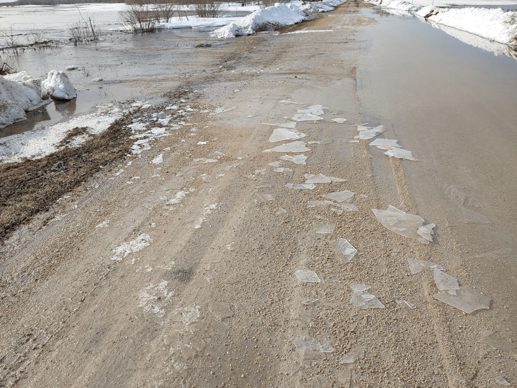
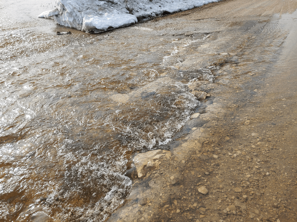
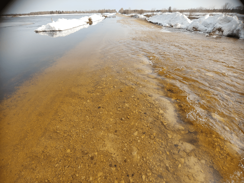
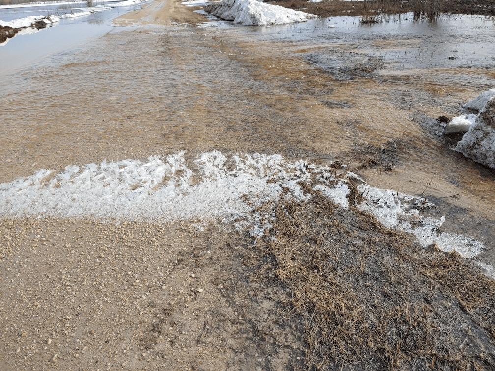
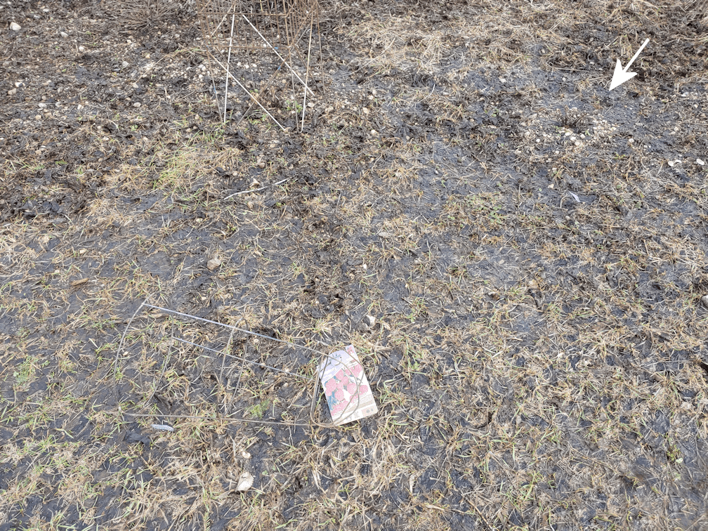
While doing the second feeding of the day and a few other things around the yard, I found myself needing to skirt around this.
There it is. The tease.
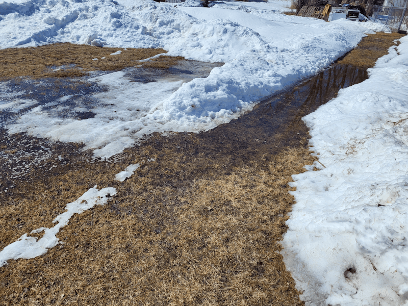
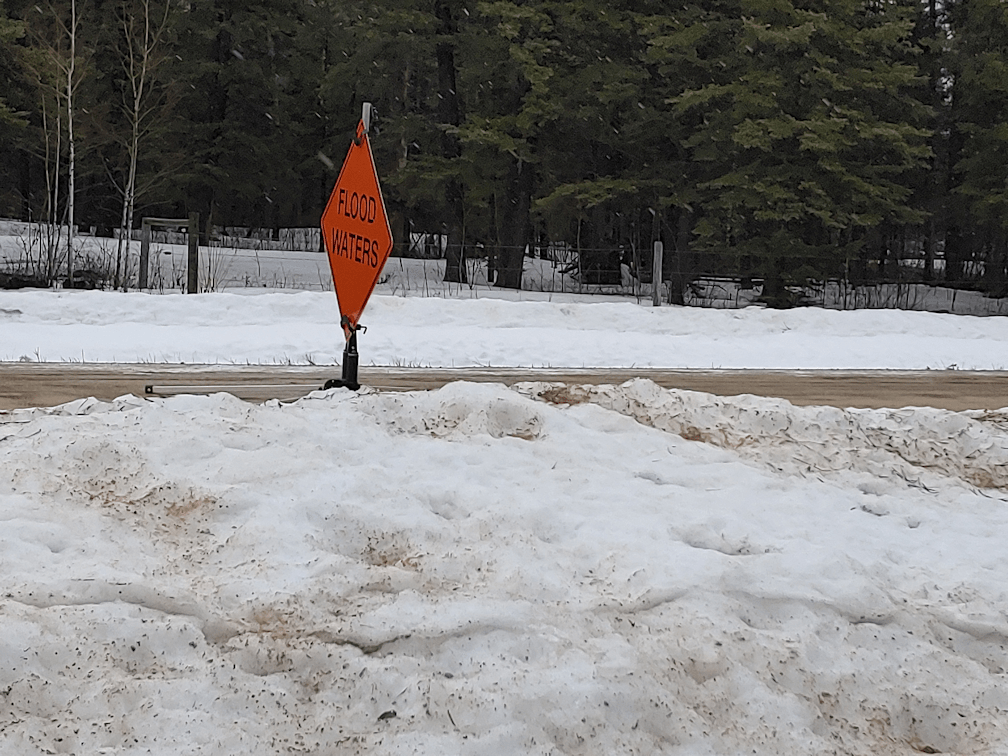
As the snow melts, this area becomes a bit of a pond. Some years, it’s part of a moat that encircles the garage and floods the pit under the outhouse.
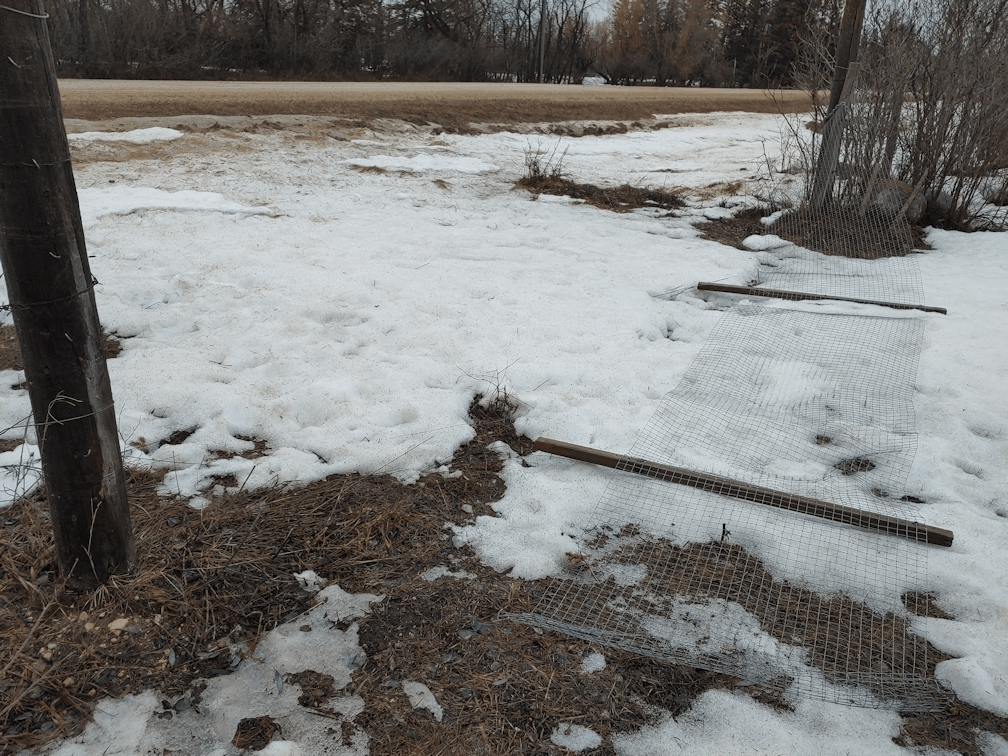
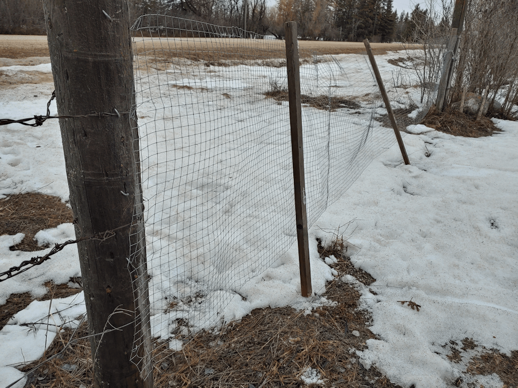
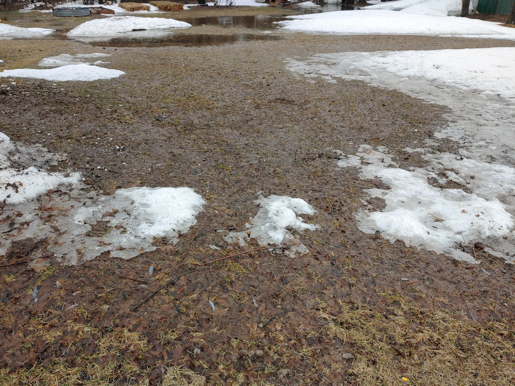
For now, though, it’s a tease. Tomorrow we’re supposed to have a high above freezing, and then the highs are going to be dipping again. We won’t get highs above freezing again for about a week. Everything that’s melting now is going to be ice.
Ah, March. You’re just nasty.
Not a lot to say about today. It has been a bad pain day, of the sort that keeps me from standing in one place for very long. I can walk around, sit, lie down, but I can’t stand for more than a few minutes.
Even so, I’m still the most able bodied person in the household.
That’s rather scary to think of.
My brother had messaged me, saying he was planning to visit our mother and asked if I wanted to meet him there. I told him I wasn’t feeling well today. Which worked out, in a way, as he spent time helping my mother figure out her phone. She hasn’t been able to make outgoing calls. She keeps trying to use the programmed numbers and just not getting that she only needs to see the name on the screen, then hit the green button. In the end, he told her to just direct dial, like she always has before. They tested it out by calling here, so I was answering the phone quite a few times.
I later found out that my brother crossed paths with our vandal and his wife. They were going to visit my mother and happened to get to the doors to the TCU (which require a code to get in) at the same time my brother did. My brother, trying to be polite, asked how our vandal was doing, all things considered. His answer? “I’m dying.” … okay. He then said he wanted to talk to our mother alone. !!! There was an uncomfortable moment before his wife said they would come back later.
As my brother was leaving, about an hour later, he found them still hanging out not far from the TCU doors.
I really wish there were some way we could keep them away from my mother; he obviously is after something. The staff have been warned, but there’s really little they can do, since we don’t have any sort of court order.
What we do know is that he’s been telling my mother about things like his funeral already being planned out and paid for. It makes us wonder if he applied for and was accepted for MAiD, which is currently the 5th highest cause of death in Canada. My mother would not approve, of course, since it goes against our religious beliefs. It’s one thing to allow death to happen as peacefully and painlessly as possible, and deliberately killing someone. It’s not our business, except we worry about what he is say to Mom. She should not be burdened with his health problems. Lord knows, if my current issues turn out to be cervical cancer or something, I would NOT be telling my mother anything other than “I’m not feeling well”, unless I absolutely have to – and even then, I’d be telling her as little as possible. She does not need that burden, and she can’t handle that sort of thing at the best of times. Which leads me back to wondering, what is it he’s trying to guilt her into doing for/giving him, and why is his wife helping him do it? With all the threats of some sort of retribution he’s made against me and my brother, and claiming we caused his cancer, it frustrates me that he’s working his way into my mother’s good graces again so easily.
That’s one of the frustrating things about him. We’ve learned that when things are quiet from him, it has generally meant that he’s been doing things in the background that he springs on us, later on. I would have hoped that, when facing his own mortality like this, he would have tried to give up all that toxic stuff, but he has instead doubled down and gotten worse.
Well, if he is, I guess we’ll find out eventually.
It does make me glad I wasn’t up to going over there today. He’s been trying to wheedle himself into my brother’s … trust? … to turn him against me. If I were there at the same time, who knows how he would have reacted, or how he would end up treating my mother, after we left.
What a thing to have to even think about.
The Re-Farmer